
Drive out of the Shelbyville square in almost any direction and within a few miles the road names begin to confess. Fairfield Pike. Unionville. Versailles Road. The Tullahoma Highway. The word pike sits on the Bedford County map like confetti after a parade nobody remembers throwing, and it is not decoration. It is paperwork. It is the receipt for a fifty year spending spree in which private investors laid crushed limestone over roughly a hundred miles of county road, one macadamized mile at a time, then charged everyone else to use it.
The paper trail survives in an 1887 history book, and it reads less like romance than like an accountant's ledger, which is what it was. Goodspeed's History of Tennessee counted Bedford County's turnpikes the way another man counts cattle. Shelbyville and Lewisburg Pike, built in 1850, eleven miles. Shelbyville and Fayetteville, 1852, nine. Shelbyville toward Unionville, Richmond, and Petersburg, 1858, twenty-seven miles all told. A pike toward Fairfield, begun in 1859 and not finished until 1865; the six year gap needs no footnote. Tullahoma, 1874. Flat Creek and Lynchburg, 1875. Fishing Ford, 1875. Wetumpka, 1881. Versailles, 1885. Average cost fifteen hundred dollars a mile, with toll gates strung across the roads every five miles like buttons on a coat.
Hold that list in your head for a minute. It explains half the map you drive on today.
What Macadam Actually Promised
The technology behind the boom came from a determined Scot named John McAdam, who spent decades inspecting British highways and concluded that everybody built them wrong. His insight was unglamorous and correct: roads do not fail because traffic grinds them down. They fail because water stands in them. So forget the giant stone slabs. Spread layers of broken rock, big chunks at the bottom and fist sized gravel on top, then let the traffic itself grind the surface into a crust that sheds rain.
Tennessee sat on the ideal ingredient. Limestone underlies half of Middle Tennessee, and Bedford County rests on it like a pie on a plate. Dirt roads across the county turned to paste every spring, deep enough in wet years to swallow a wagon axle, and every farmer who had pushed a load through that muck understood the pitch without being sold it. A macadam road shed water instead of drinking it. The stone was local. The quarries were already open for the courthouse and the jail.
Private companies had been building such roads on toll charters across Tennessee since the 1820s; the Franklin Turnpike Company was chartered in 1829 to raise seventy five thousand dollars in stock. Bedford County's turn at the fashion arrived with the 1850s, and it came straight down to the courthouse.
Why They Call It a Turnpike
Now for the name itself. A pike, to anyone who had served in the era's armies, was a long shaft with a sharp head on it. Early toll gates mounted exactly such a pole on a pivot; pay the keeper and he turned the pike out of your way. Refuse, and the point stayed across the road like a soldier holding a wall. The machine outlived its own mechanism. Long after pivots gave way to levers and levers to shed gates, people kept calling the toll roads turnpikes, then kept calling the roads pikes after the gates came down, then kept printing the word on maps where no trace of a bar ever stood. Language keeps a receipt longer than asphalt keeps a rut.
The Ledger the Fire Spared
Here the story takes a strange turn. The county's oldest court records burned with the courthouse in 1863, so the surviving record books begin with a session held October 1, 1848, in whatever replaced the lost building. Twenty eight justices of the peace sat that day; the roll reads like a street map of old Bedford, Galbraith, Wortham, Blanton, Hoover, Neeley.
That first surviving session is already neck deep in bridge business. Commissioners Frierson, Neil, and Galbraith reported that the contract for building a bridge across Duck River at or near Skull Camp Ford had been awarded to James Wortham for $1,700. Henry Stephens got $79 to repair the bridge over the Wartrace Fork. William Presgrove and Nathaniel Wheeler got $75 for a bridge over the North Fork. Notice the scale. The county's entire tax levy that year ran eight and a half cents on each hundred dollars of property and twenty five cents a head on free polls. The county could afford culverts. It could not afford a road system, and it knew it, so private stockholders built one and collected at the gate.
The Boom, Read Year by Year
What followed reads like a drumbeat. Lewisburg first, in 1850, eleven miles of stone rolling south. Fayetteville next in 1852, nine more. Then the long one, 1858, eighteen miles toward Unionville plus nine more toward Richmond and Petersburg, stitching the county's eastern farms to the square. Fairfield's pike started in 1859 and, because the 1860s happened, was not finished until 1865. Reconstruction slowed nobody for long. Tullahoma got its road in 1874, ten miles toward the railroad town. 1875 brought the Flat Creek and Lynchburg pike and the five mile road to Fishing Ford, and Wartrace got its own six mile road to Beech Grove. Wetumpka, up toward the Rutherford line, got a pike in 1881. Bell Buckle strung together a little constellation of them in 1882. Versailles closed the era in 1885 with eight more miles.
Add it up and you get better than a hundred miles of toll turnpike, nearly every mile of it running into the Shelbyville square or into a village that traded there. Fifteen hundred dollars a mile on average. Tolls collected at gates every five miles were, in Goodspeed's dry phrasing, how the expense of construction and maintenance got repaid. Lay the list over an 1880s county map and the network looks like a wheel. The hub is the courthouse.
Life at the Gate
The toll gate was the business model itself made visible: a bar across the road, a small house beside it, a keeper with a ledger of his own. The charters of the day were not heartless documents. The Gallatin Turnpike's act, typical of the breed, let residents cross free on foot or horseback when traveling to or from militia musters, public worship, or a mill, and jurors and justices attending court paid nothing. What nobody could legally do was swing around the bar. Evasion was against the law, and the men who owned the road had the law on retainer.
Exemptions only went so far. A farmer hauling cotton toward the depot, a drummer with a wagon load of tinware, a family moving stock to market, every one of them fed coins into the system, gate after gate, five miles at a time. Nobody in the county could pretend the roads were charity. They were infrastructure run like a livery stable, and like a livery stable they were everywhere the moment you left town.
The Long Grumble Before the End
The trouble with toll roads is that people hate paying twice, first in taxes for the bridges and second at the gate for the road. Tennessee's turnpikes grew steadily less popular after the 1850s, and by the 1890s the complaints had hardened into politics. Then the legislature drew the curtain: a state law in 1899 authorized counties to buy the turnpikes outright from their private owners and open them as free roads. County courts across Middle Tennessee bought their own maps back. The toll gates came down, the keepers found other work, and the macadam passed quietly into public hands.
The Model T finished whatever the law left unfinished. The state highway department arrived in 1915, the automobile kept multiplying, and road builders learned to seal the old stone with asphalt instead of replacing it. The builders of 1850 had guessed right about one thing at least. Water still kills roads, and drainage still saves them.
You Are Driving Them Now
The network is still underfoot. Fairfield Pike keeps the old word in its name and carries school buses and feed trucks past the same fields its stockholders promised to reach. Versailles Road runs north out of town on the alignment chartered at the very end of the boom. The routes toward Unionville, Tullahoma, Flat Creek, and Lynchburg all follow macadam laid under a toll charter, later widened, later patched, later paved on top like a canvas over a frame.
Even the price survives in the public record. The Bedford County Highway Department's modern paving plan lists Warner's Bridge Road, the descendant of the Shelbyville and Fishing Ford Pike, at 2.5 miles and a final cost of $213,491.55, which is about $85,000 a mile. The men who chartered the pike to Fishing Ford in 1875 paid $2,000 for their bridge at that crossing and built their road at fifteen hundred dollars a mile. The stone under the asphalt has been earning its keep for a century and a half, and unlike the tolls, it never left.
Community Discussion
Sign in to join the discussion.
Be the first to comment on this story.

David Stemper
Editor & Publisher, Shelbyville Connect
David Stemper is a photographer, writer, and Bedford County resident who covers local history, community events, and everyday life in Shelbyville, Tennessee. His work spans historical research, local business features, and community storytelling rooted in primary sources and firsthand knowledge of the area.
About Us →More Stories to Read
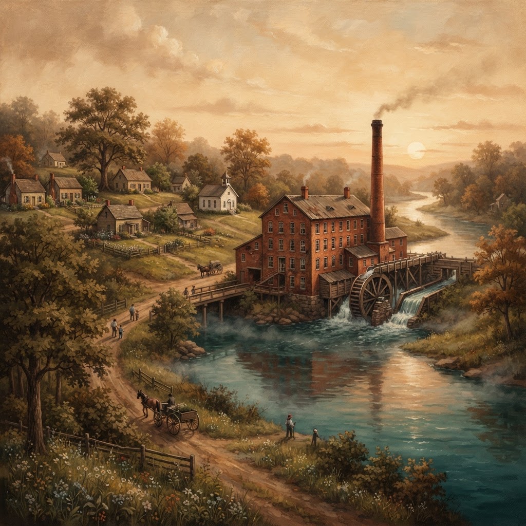
Tops for Model Ts, Cord for a War, and Three Army-Navy E's: The Mill on the Duck
Read more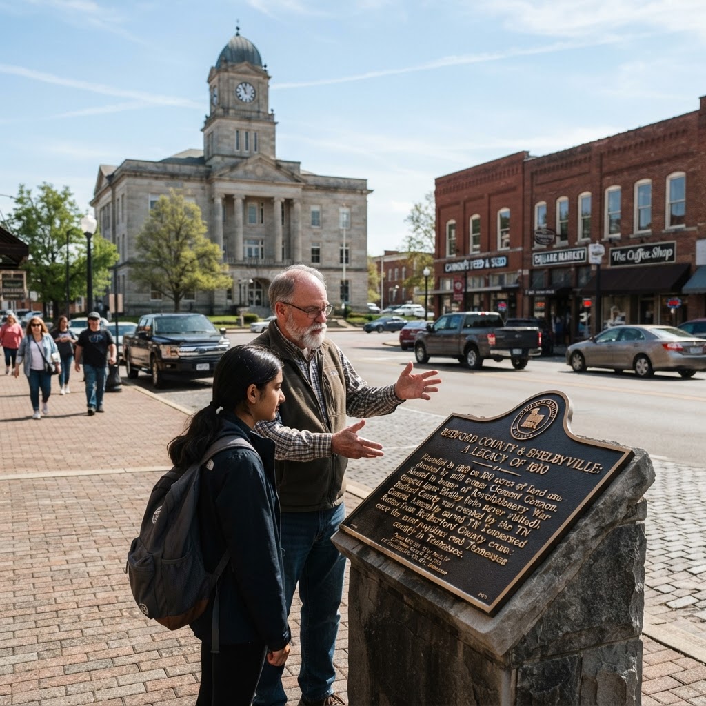
The 100-Acre Gift, the General Who Never Visited, and the County That Once Outpopulated Nashville
Read more
The Dead Horse Behind the Wartrace Hotel and the $2,000 Show That Made Shelbyville Famous
Read moreFrequently Asked Questions
Why do so many roads around Shelbyville have Pike in the name?
They were built as toll turnpikes under private charters between 1850 and 1885. The pivoting bar of a toll gate was called a pike, and the name stuck to the roads themselves long after the tolls were gone.
What was a macadam road?
A road surfaced in layers of broken limestone, larger stone at the bottom and finer material on top, packed by traffic into a crust that shed water instead of absorbing it. The method is named for the Scottish engineer John McAdam, and Bedford County had the stone in abundance underfoot.
How much did it cost to build a mile of turnpike in Bedford County?
Goodspeed's 1887 history put the county's average at $1,500 per mile, financed by private stockholders and repaid by tolls collected at gates set every five miles. For scale, the county court's own 1849 tax levy was eight and a half cents per hundred dollars of property, and the county paid $75 to $79 for small bridges the same era.
When did Tennessee's toll turnpikes end?
Toll roads grew increasingly unpopular after the 1850s. A state law passed in 1899 authorized counties to buy the turnpikes from their private owners and open them as free roads, and counties across Middle Tennessee did exactly that in the early 1900s, decades before the state highway department took over in 1915.
Can you still trace the old turnpike alignments around Shelbyville?
Yes. Fairfield Pike still carries the name, Versailles Road follows the 1885 alignment, and the routes toward Unionville, Tullahoma, Flat Creek, and Lynchburg all trace pikes from the ledger. Warner's Bridge Road descends from the 1875 Shelbyville and Fishing Ford Pike.