
The Man Who Drew the Lines
Every city begins as a survey. Before a single building rises, before the courthouse is placed, before the first tavern opens , there is a man with a chain and a compass drawing lines across the land and deciding, with each measured distance, what the future will look like. For Shelbyville, one of those men was Clement Cannon.
Cannon was a Virginia-born Revolutionary War veteran who came to Tennessee in the years following American independence, part of the great westward migration that filled Middle Tennessee's fertile limestone valleys with settlers from Virginia, North Carolina, and the Carolinas. He was a surveyor, a land speculator, and a political figure , the combination of skills and ambitions that defined the founding generation of Tennessee's county-seat cities.
The Revolutionary War Generation
Understanding Clement Cannon requires understanding the cohort he belonged to. The men who founded Shelbyville and the surrounding Middle Tennessee county seats were, many of them, veterans of the Revolutionary War or the sons of veterans , men who had fought for the principle that republican self-government was worth dying for, and who translated that principle into the practical work of building governing institutions from scratch on the American frontier.
The courthouse square they laid out was not merely practical infrastructure. It was a physical statement of republican values , the courthouse at the center of civic life, accessible from all directions, surrounded by the commercial and professional activity that a functioning community required. The "Shelbyville Plan," as urban historians have named it, was not an accident. It reflected a specific understanding of what a republican community should look like and how it should be organized.
Cannon's military service placed him in the generation that had that understanding most deeply. He had seen what the alternative to republican self-government looked like. He knew what was at stake in getting the institutions right.
The Survey of 1810
When Bedford County was established in 1807 and Shelbyville was designated the county seat, the work of laying out the town fell to surveyors with the technical skills and the local knowledge to execute the task. The survey of 1810 that established Shelbyville's street grid , the courthouse block at the center, streets entering from the midpoints of each side, a regular grid of equally sized blocks surrounding it , was the foundational act of the city's physical existence.
Cannon's involvement in this process, and in the broader development of Bedford County's governing infrastructure in its early years, made him one of the city's founding figures in the most literal sense. The lines he drew are still the lines that Shelbyville's streets follow. The courthouse block he helped establish is still the center of the city. Walk the grid today and you are walking the survey of 1810.
Land, Law, and the Founding Generation
The founding generation of Shelbyville operated in a world where land was the primary form of wealth and the legal instruments of land ownership , surveys, deeds, grants, court judgments , were the essential machinery of economic life. Surveyors like Cannon were not merely technical professionals; they were the people who determined, with their chains and compasses, who owned what and where the boundaries ran. In a frontier community where land titles were contested, overlapping, and frequently unclear, the surveyor's authority was substantial.
Cannon's role in establishing Shelbyville's physical layout gave him a specific kind of founding authority , the authority of the person who drew the lines that everyone else built within. The streets he surveyed constrained and enabled every subsequent decision about where to put the courthouse, where to build the taverns, where the lawyers' offices would cluster, where the merchants would set up shop. The city that grew from his survey is the city that still exists, shaped by decisions made in 1810 by men who understood they were building something meant to last.
Remembering Cannon in Shelbyville
The Bedford County History Museum at the Fly Arts Center maintains materials on the founding generation of Shelbyville, including the surveyors and early county officials whose work established the city's physical and institutional framework. For visitors interested in the deep history of Shelbyville's founding, the museum provides the context for understanding what Cannon and his contemporaries were doing and why it mattered.
The street grid is the most durable monument to Cannon's work. It requires no plaque and no museum exhibit , it is present everywhere in Shelbyville, in every block and intersection that follows the lines laid down in 1810. The fact that you can still walk those lines, still find the courthouse at the center, still navigate Shelbyville by the same geometry that the founding generation established, is the most honest testament available to what Clement Cannon and the Revolutionary War generation built in Bedford County.
Community Discussion
Sign in to join the discussion.
Be the first to comment on this story.

David Stemper
Editor & Publisher, Shelbyville Connect
David Stemper is a photographer, writer, and Bedford County resident who covers local history, community events, and everyday life in Shelbyville, Tennessee. His work spans historical research, local business features, and community storytelling rooted in primary sources and firsthand knowledge of the area.
About Us →More Stories to Read

From Eagle Boulevard to Calsonic Way: Why Shelbyville Families Stop Leaving
Read more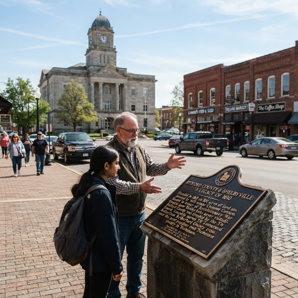
The 100-Acre Gift, the General Who Never Visited, and the County That Once Outpopulated Nashville
Read more
518 Feet of Bar and a Burger on the Square: Why Shelbyville's Food Scene Keeps People From Leaving
Read more